Blog
Hurricane Hunter Visits Turks and Caicos
- June 1, 2017
- Category: Extra Curricular Activities (Clubs), Grade 4, Grade 5, Grade 6, School News, Technology
Hurricane Hunter Visits Turks and Caicos
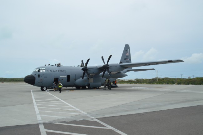
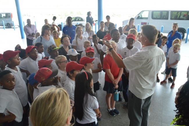
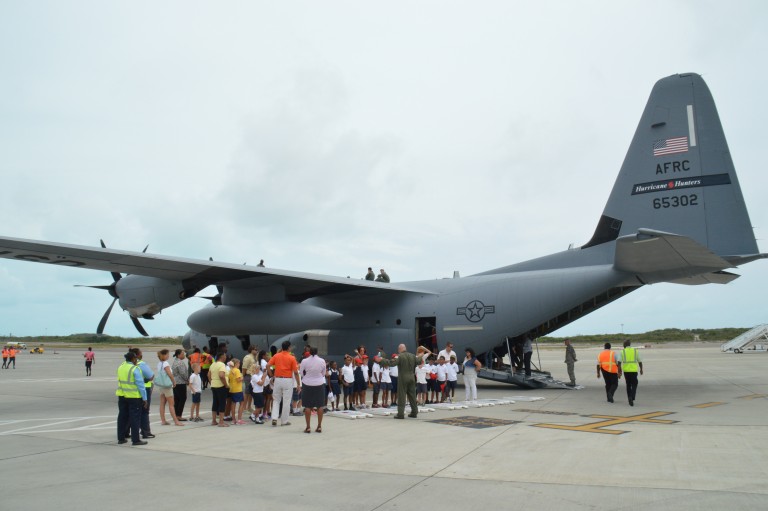
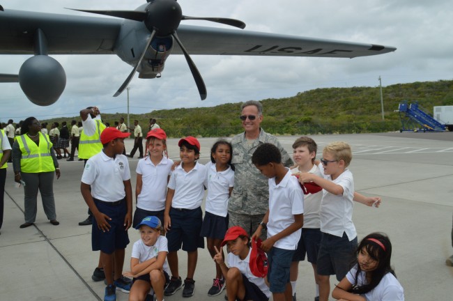
Turks and Caicos, April 27, 2017 – Providenciales – Grade 4, 5 and 6 of the International School were given a tour of the Hurricane Hunter aircraft; property of the US Air Force which visited the Providenciales International Airport. The US Air Force C-130J Super Hercules aircraft touched down at Providenciales International Airport as part of a Latin America and Caribbean hurricane awareness tour.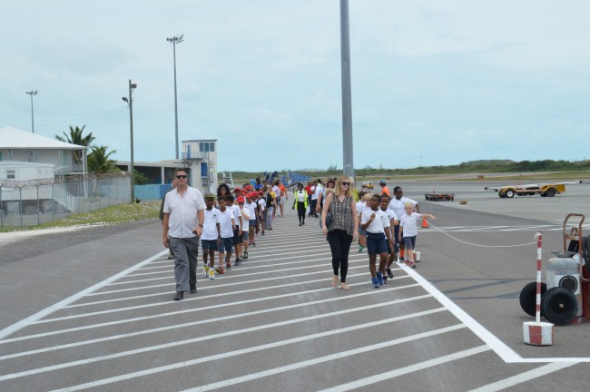 Three schools and a healthy cadre of government officials including the Governor, the Home Affairs Minister and DDME director were given a working knowledge of the program.
Read more about the visit from the Airports Authority
Read more about the visit The aircraft, nicknamed Hurricane Hunter, is one of ten that is assigned to the 53rd Weather Reconnaissance Squadron of the US Air Force based at Keesler AFB in Mississippi.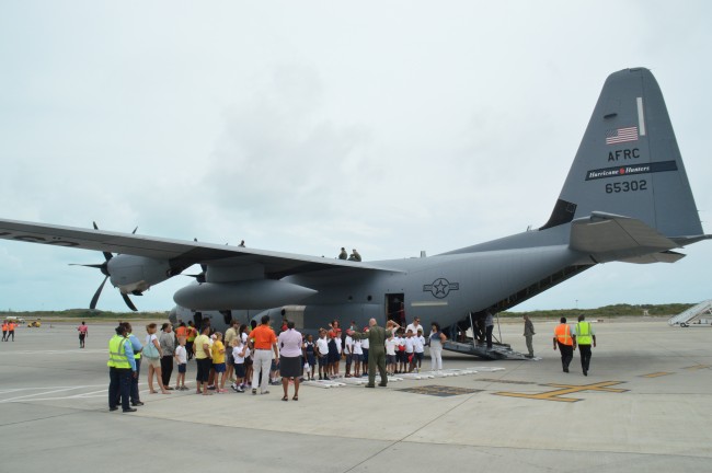 Used for penetrating hurricanes, the aircraft carries a minimum of five crew on its aerial weather reconnaissance missions and collaborates with the National Oceanic and Atmospheric Administration (NOAA) to collect pertinent data on impending storms.
Dr. Richard Knabb, Director of the National Hurricane Center, who is touring with the Hurricane Hunter crew encouraged a small gathering that was on hand to visit the aircraft to prepare in advance for the next hurricane season which starts on June 1st.
Glendell DeSouza, a representative from the Caribbean Meteorological Organization travelled to the Turks and Caicos Islands to be a part of the proceedings.
 About the Hurricane Hunter
Hurricane hunters are aircrews that fly into tropical cyclones in the North Atlantic Ocean and Northeastern Pacific Ocean to gather weather data.
A typical weather reconnaissance mission lasts about 11 hours, covering almost 3,500 miles collecting and reporting weather data as often as every minute. The aircraft penetrates hurricanes at an altitude of about 10,000 feet to collect data which contributes to the accuracy of hurricane predictions.
 Before satellites were used to find storms, military aircraft flew routine weather reconnaissance tracks to detect formation of tropical cyclones.
Today, satellites have revolutionized weather forecasters' ability to detect signs of such cyclones before they form, yet they cannot determine the interior barometric pressure of a hurricane nor provide accurate wind speed information — data needed to accurately predict hurricane development and movement.
Read more about the visit from the Airports Authority
Read more about the visit

